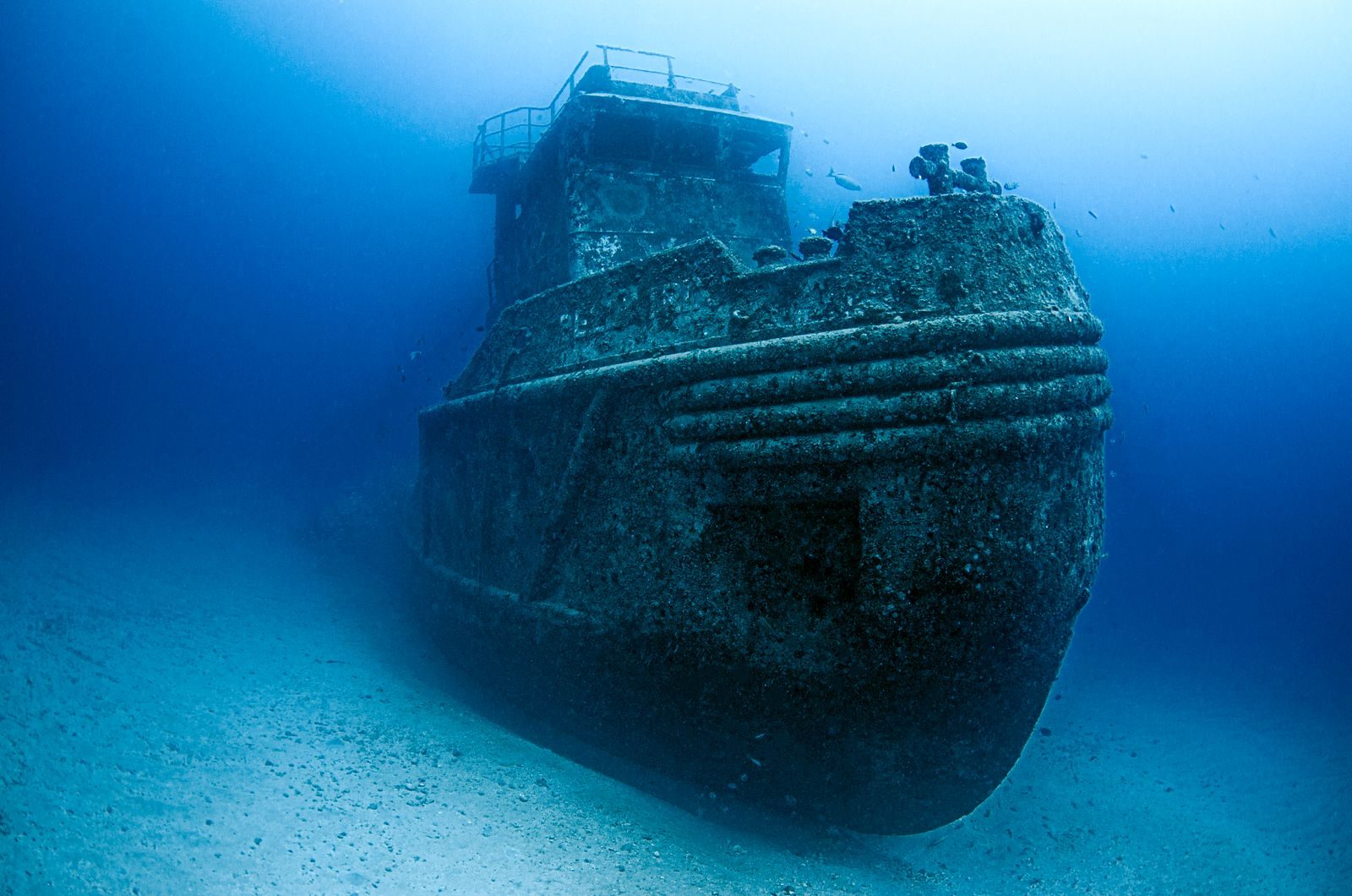
A satellite image circulated online after viewers noticed a feature near Antarctica that appeared to resemble a large ship trapped in snow or sinking beneath the ice.
No expedition has verified it as a vessel, and the image does not show recognizable wreckage. The best-supported explanation is a naturally shaped ice or rock feature made more convincing by shadows, image processing and the human tendency to recognise familiar objects in random patterns.
Google Earth Is a Mosaic, Not One Photograph
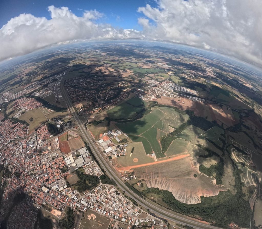
Google Earth does not display a single, continuous photograph of the planet. Its surface is assembled from images captured by different satellites, aircraft and organisations at different times.
These images may have varying resolutions, angles, lighting conditions and colours. When they are aligned and blended, seams or visual distortions can occasionally make ordinary objects look unfamiliar or artificial.
Antarctic Light Creates Dramatic Illusions
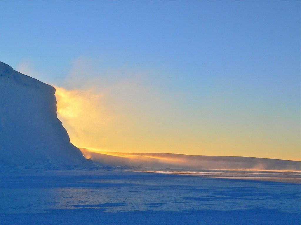
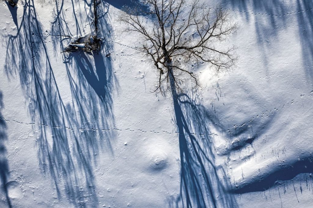
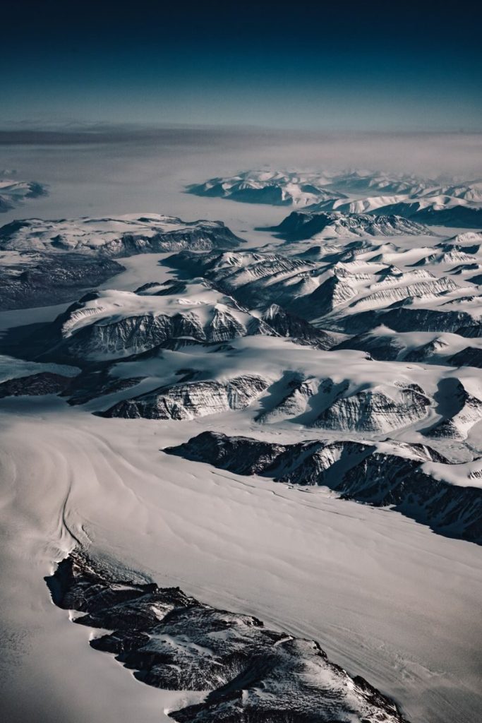
Polar landscapes are especially difficult to interpret from above. The Sun often remains low on the horizon, producing long shadows and sharp contrasts across snow, ice and exposed rock.
A ridge may look like a ship’s hull, while a darker shadow can resemble an opening or deck. Landsat mosaics of Antarctica require extensive correction because illumination and atmospheric conditions vary between individual scenes.
Ice Can Form Surprisingly Regular Shapes
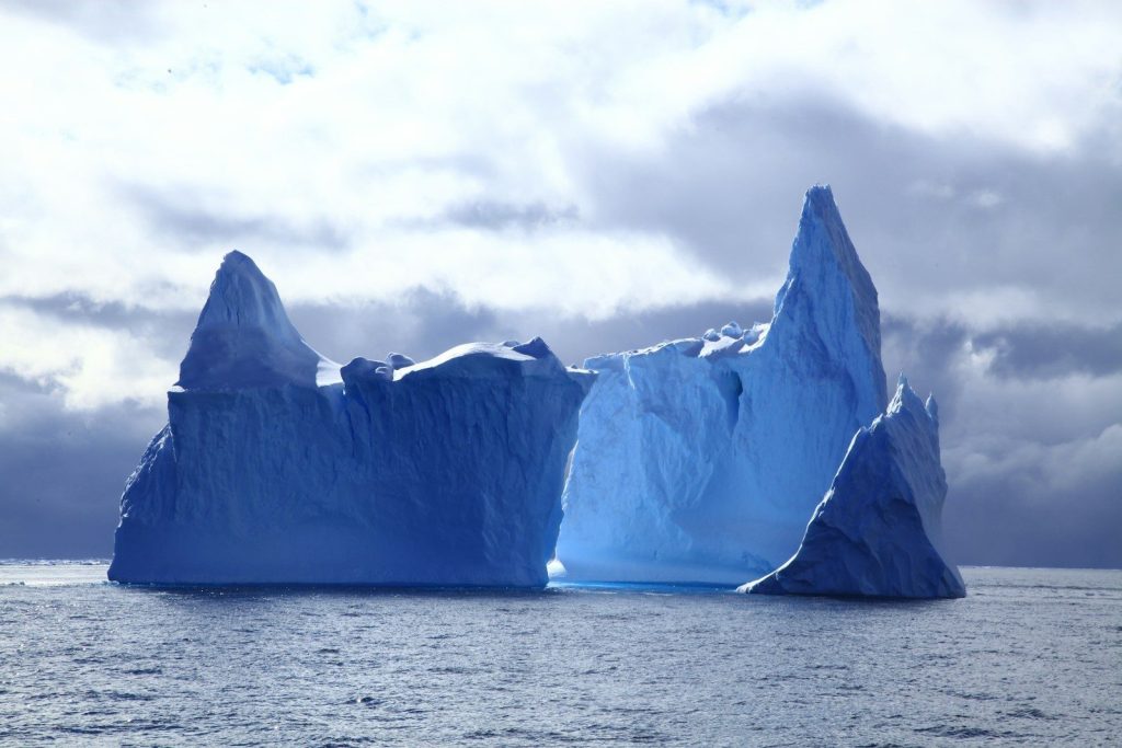
Icebergs fracture along weaknesses created by pressure, temperature changes and the internal structure of the ice. Wind, waves and melting then reshape their surfaces.
Some formations develop straight-looking edges, raised centres or pointed ends that resemble manufactured objects when viewed from one angle. Without measurements from several directions, a ship-like outline in a satellite image is not evidence that the object was built by humans.
The Brain Tries to Complete the Picture
The psychological effect behind many such sightings is called pareidolia. It occurs when the brain detects a familiar face, animal or object in an ambiguous pattern.
This ability helps people recognise important shapes quickly, but it also produces false matches. Once someone labels an Antarctic feature as a ship, other viewers begin interpreting shadows and ridges as parts of the same imaginary vessel.
Satellite Images Can Distort Moving Objects

Google has explained that supposed “sunken ships” seen in its imagery can result from optical effects, image layering or the way moving vessels appear in different colour channels.
A ship photographed while travelling may leave duplicated or coloured outlines. In other cases, an ordinary natural feature merely resembles a vessel. Either way, one overhead image is insufficient to establish a maritime discovery.
Real Shipwreck Discoveries Look Very Different
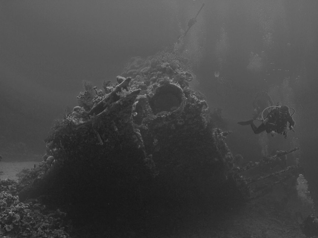
A genuine wreck is normally confirmed with sonar, underwater cameras, remotely operated vehicles and identifiable structural evidence.
For example, the wreck of Ernest Shackleton’s Endurance was located beneath the Weddell Sea through a dedicated expedition and documented with direct underwater imagery. The viral ice formation has not been supported by comparable physical observations.
The Mystery Is Mostly in Human Perception
The Antarctic “ship” remains visually compelling because the image is distant, unfamiliar and difficult to scale. Those conditions allow the imagination to fill in missing information.
Current evidence supports a natural formation or imagery-related illusion rather than a newly discovered wreck. The image still has scientific value, however, because it demonstrates how satellite processing, polar light and human pattern recognition can combine to create an extraordinarily persuasive mystery.
Featured Image: Photo by Leonardo Lamas on Pexels
Leave a Reply