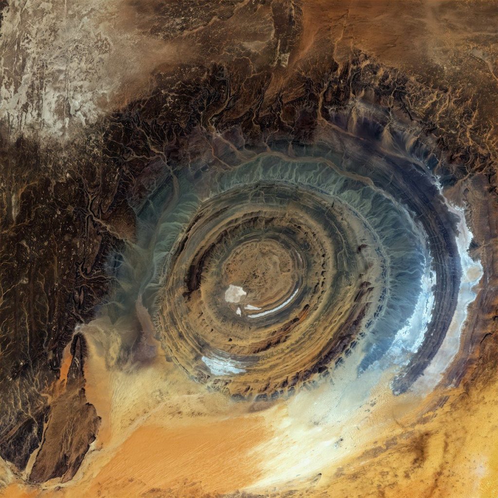
The Richat Structure in northwestern Africa forms a vast set of concentric ridges about 25 miles across. From orbit, the rings resemble a giant eye staring from the Sahara. Scientists once considered an impact origin, but decades of fieldwork found no clear, convincing evidence that a meteorite created the feature.
Research now describes the Eye of Africa as a deeply eroded geological dome shaped by more than one episode of underground magmatic activity. A 2024 dating study added an older chapter to that history, suggesting some gabbro intrusions formed roughly 230 million to 200 million years ago, long before later Cretaceous activity reshaped the area.
Richat Structure Eye Of Africa Satellite View
Large impacts often leave circular scars, so the Richat Structure’s shape naturally encouraged a crater explanation. Early reports even claimed to identify coesite, a mineral associated with extreme shock pressure. Later examination showed that the material had been misidentified, and researchers found no reliable shocked quartz, shatter cones, or widespread impact melt. Without those diagnostic features, the meteorite model lost support. The circular outline instead reflects uplifted rock layers and fractures arranged around a buried igneous center.
Concentric Circular Geological Rock Dome
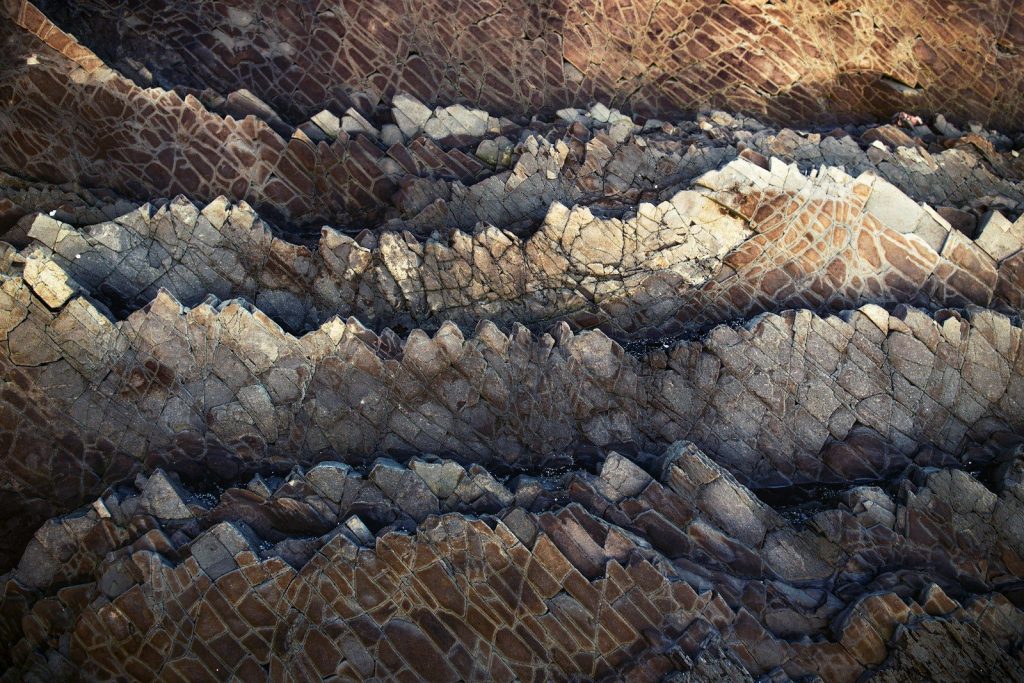
The structure sits within layers of sedimentary rock that were originally deposited over hundreds of millions of years. Forces beneath the surface pushed those layers upward into a broad dome. When erosion later removed the top, the tilted beds became exposed in rings, much like slicing through a layered onion. Harder rocks resisted weathering and remained as raised ridges, while softer layers wore down into valleys. The familiar bull’s-eye is therefore the eroded cross-section of an uplifted geological structure.
Underground Magma Intrusion Gabbro Rock
The 2024 study examined minerals in gabbroic rocks and attempted to determine when magma entered the older sedimentary sequence. The measurements did not provide one simple, precise crystallization date. Numerical modeling instead suggested an intrusion interval between about 230 million and 200 million years ago. That timing overlaps broadly with immense magmatic activity associated with the opening of the Central Atlantic. The result implies that the Richat region’s underground history began far earlier than many previous models emphasized.
Cretaceous Volcanic Igneous Rock Formation

Other igneous and hydrothermal rocks at Richat record activity around 100 million years ago during the Cretaceous period. This younger phase included alkaline magma, carbonatites, volcanic rocks, and fluids moving through fractures. Rather than forming in one sudden event, the system appears to preserve at least two widely separated episodes of magmatism. The newer research therefore refined the structure’s timeline without changing the central conclusion: natural processes beneath the crust uplifted and altered the rocks before erosion exposed their circular pattern.
Hydrothermal Alteration Mineral Breccia Rock
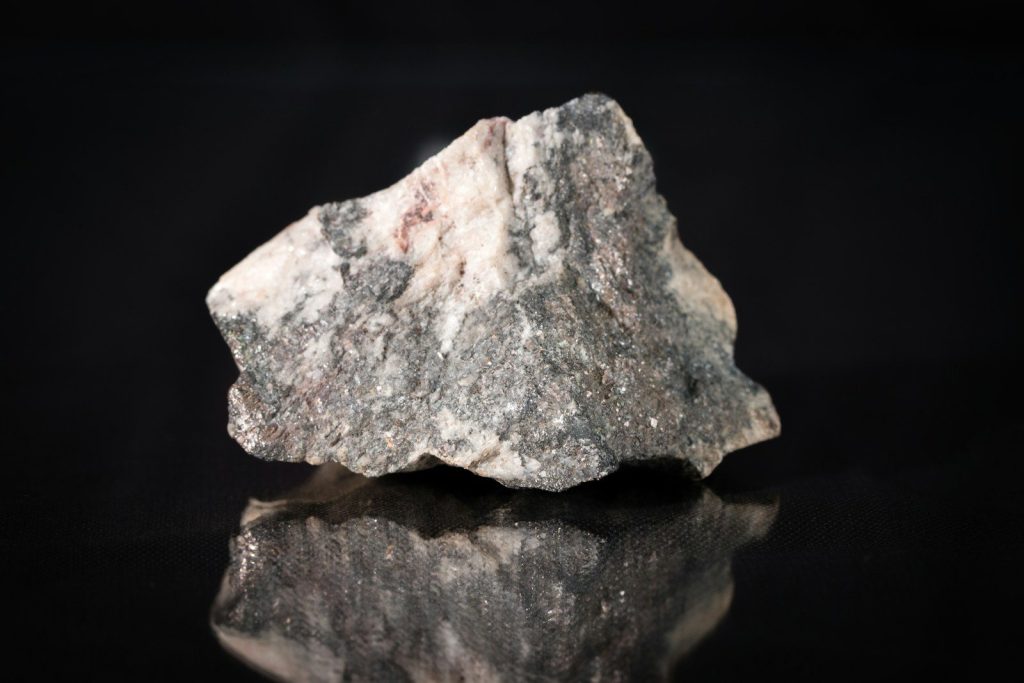
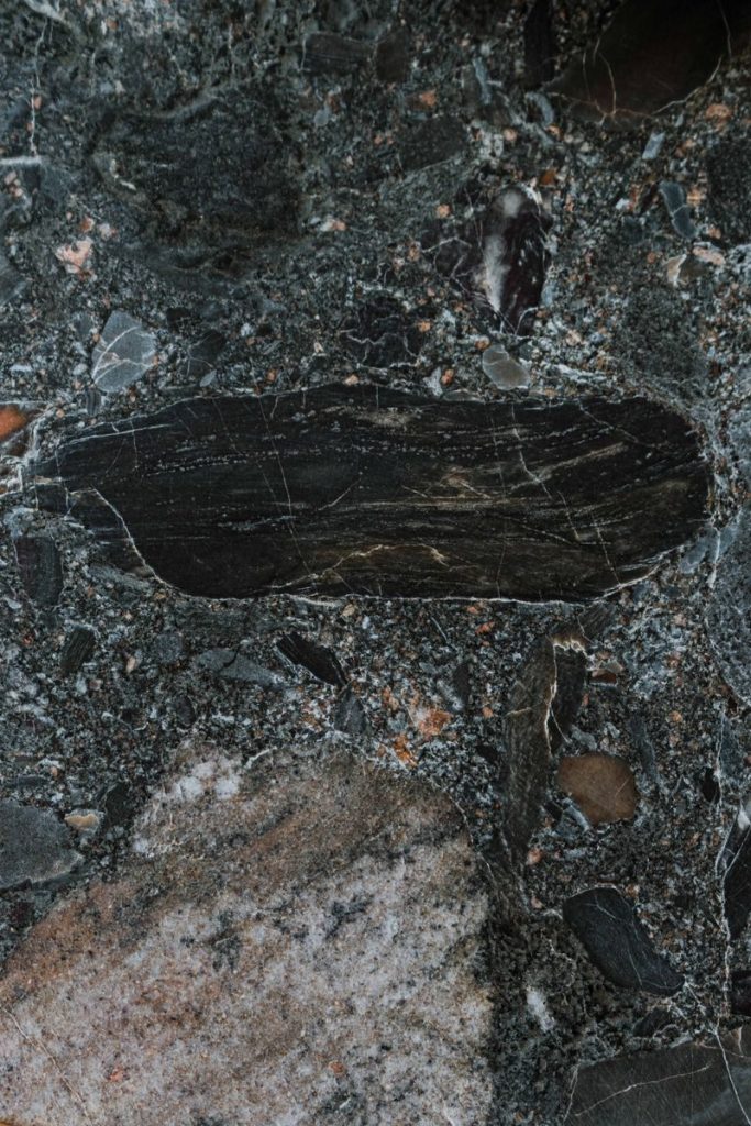
Heat from underground intrusions drove mineral-rich fluids through cracks in the central rocks. Those fluids dissolved some material, deposited new minerals, and helped create intensely altered zones and broken rock known as breccia. Collapse above dissolved cavities may also have shaped the core. This hydrothermal activity explains unusual rock chemistry without requiring an impact. It also shows why calling Richat a simple volcano is incomplete. The visible rings preserve the eroded plumbing, fractures, sedimentary layers, and altered rocks of a complex system.
Sahara Desert Wind Erosion Cuesta Ridges
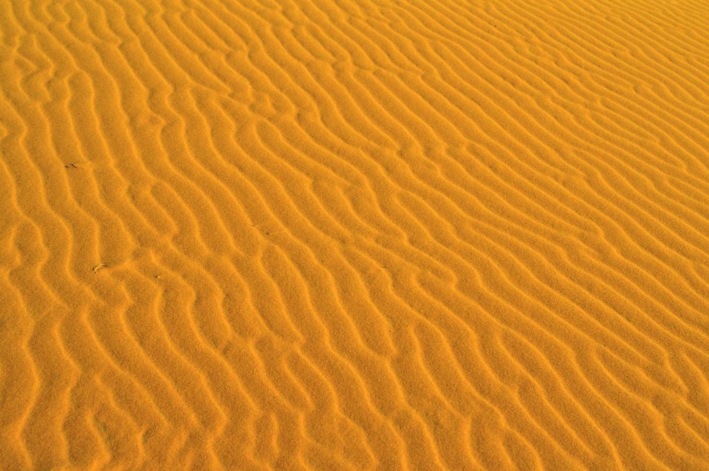
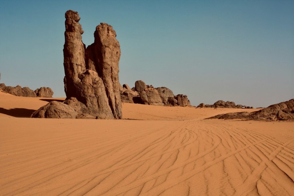
Uplift and magma prepared the structure, but erosion produced the landscape visible today. Ancient rivers, rainfall during wetter Saharan periods, temperature changes, and wind gradually removed softer material. Resistant quartz-rich layers remained as circular ridges called cuestas. The process took immense spans of time and continues now. From ground level, the formation can be difficult to recognize because the rings are so large. Satellite and astronaut images reveal the complete pattern by showing the ridges within one broad view.
Ancient Sahara Desert Archaeological Stone Tools
The Richat Structure is sometimes promoted online as the remains of Atlantis because its rings resemble the concentric layout described in Plato’s story. Geology rules out a constructed city as the source of the formation: the dome and its rock layers are vastly older than human civilization. Stone tools show that people occupied parts of the surrounding landscape, but archaeologists have not found the canals, buildings, harbor works, or settlement remains required to identify a large lost city at the center.
Geological Cross Section Richat Structure Diagram
More than fifty years of research did not end with one dramatic discovery. Instead, improved mapping, geophysics, mineral analysis, and dating gradually replaced an impact idea with a multi-stage geological history. The Eye of Africa formed from ancient sedimentary layers, at least two phases of magmatic intrusion, uplift, hydrothermal alteration, collapse, and prolonged erosion. Some dates remain model-dependent and future work may refine them, but the structure’s natural origin is now far better supported than meteorite, volcanic-crater, or lost-city explanations. This article is for informational purposes only.
Featured Image: Photo by Guillermo Suarez on Unsplash
Leave a Reply