
Researchers recently used drone-mounted LiDAR to map a roughly 5,000-year-old fortified settlement beneath dense forest in Romania’s Neamț County. Thick vegetation had concealed the full shape of the earthworks from people walking across the site, but laser measurements revealed defensive features that were clearly difficult to recognize from ground level.
The fortification dates broadly to the transition from the Neolithic period to the Bronze Age. The discovery does not mean an unknown stone castle was found intact. Instead, subtle ditches, banks, and altered terrain emerged in a detailed digital model, giving archaeologists a clearer picture of how prehistoric communities organized and defended elevated settlements.
Dense Forest Vegetation Archaeological Earthworks
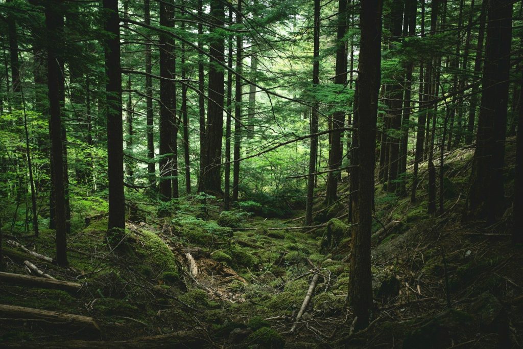
Ancient earthworks can become almost invisible after thousands of years of erosion, soil buildup, tree growth, and fallen leaves. A ditch may survive only as a shallow depression, while an earthen bank can resemble a natural slope. Dense woodland also limits aerial photography and makes systematic ground surveys slow. In Neamț County, the remains were not entirely unknown, but vegetation prevented researchers from seeing how separate features connected across the landscape or appreciating the fortification’s full scale.
Drone Mounted LiDAR Scanning Forest Terrain
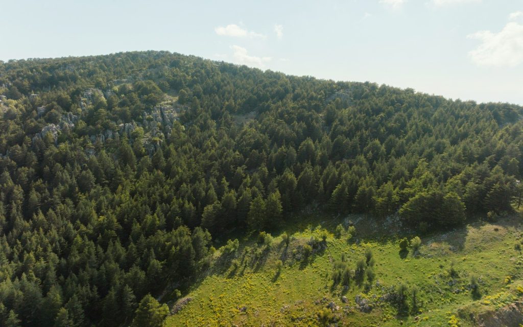
LiDAR sends rapid laser pulses toward the surface and measures how long their reflections take to return. Many pulses strike leaves and branches, but others pass through small gaps and reach the ground. Software separates those returns and builds a precise elevation model with much of the vegetation digitally removed. Mounted on a drone, the system can cover rugged areas efficiently and reveal low banks, terraces, pits, ditches, roads, and building platforms that ordinary photographs may miss.
Prehistoric Hilltop Fortification Elevation Model

The mapped fortified sites occupied elevated positions with broad views of the surrounding terrain. Height would have helped residents watch routes, animals, neighboring groups, and approaching danger. Researchers identified ditches and earthen mounds that strengthened naturally defensible locations. Some ditches extended for hundreds of meters, implying sustained labor rather than a temporary camp. The layouts suggest that communities carefully selected their positions and modified the hills to control access, although the exact reasons for every defensive feature remain uncertain.
Bronze Age Prehistoric Settlement Excavation

About 5,000 years ago, communities in southeastern Europe were living through major economic and social transitions. Farming was established, metalworking was expanding, and settlements varied from small villages to more strongly enclosed centers. Fortifications may have protected people, livestock, stored food, tools, and access routes. They may also have marked status or community boundaries. Archaeologists should not assume every ditch proves constant warfare, but building defenses on this scale indicates planning, cooperation, and concern about controlling the settlement.
Archaeological Fieldwork Trench Excavation Dig

LiDAR maps shape, not age, identity, or daily life. A digital model can reveal a ditch, but excavation is needed to determine when it was dug, how often it was repaired, and what people did nearby. Pottery, tools, animal bones, charcoal, and preserved structures can provide those answers. Researchers must also check whether later farming, logging, or military activity altered the site. The technology guides investigation, but it does not replace careful fieldwork, dating, and comparison with nearby settlements.
Archaeologist Operating Drone In Forest Survey

The survey became possible after a former archaeology student, now working in geospatial services, reconnected with his former teacher. Their collaboration combined archaeological questions with drone mapping and data processing. It is a useful example of how discoveries often depend on partnerships rather than one dramatic moment. Archaeologists understand the cultural setting, while survey specialists provide instruments and models that expose patterns hidden at ground level. Together, they turned a forested landscape into a readable record of ancient planning.
LiDAR Digital Elevation Model Ancient Earthworks
The Romanian survey shows how many archaeological landscapes may remain partly hidden even when researchers know where a site lies. Forests can protect earthworks from intensive agriculture while simultaneously concealing their form. LiDAR now allows teams to map those remains without clearing vegetation or disturbing the ground. The 5,000-year-old fortification matters not because nature erased it completely, but because modern imaging revealed its organization, defensive effort, and relationship to terrain far more clearly than traditional observation alone could achieve. This article is for informational purposes only.
Featured Image: Photo by Nathan Anderson on Unsplash
Leave a Reply