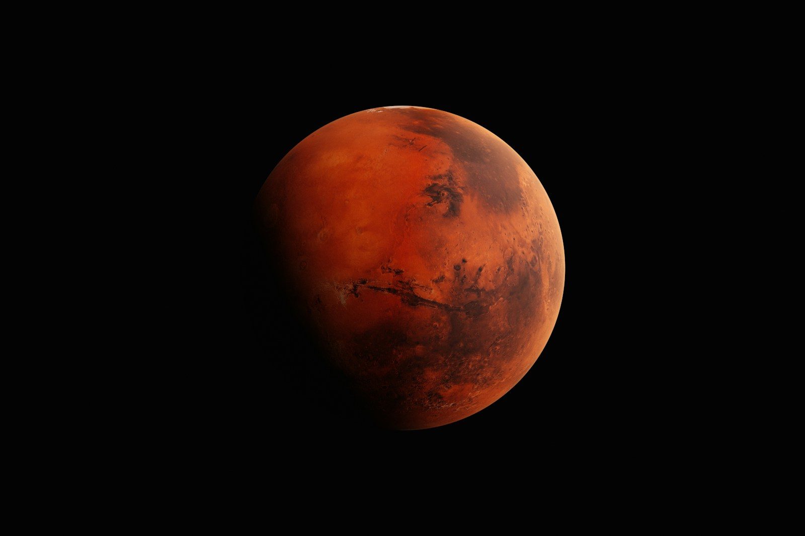
Space enthusiasts usually assume that Mars is a completely static and dry desert. We believe the dusty Martian plains have remained entirely unchanged for billions of years.
But robotic rovers exploring the surface are challenging this planetary assumption. Deep radar scans have mapped perfect geometric formations buried beneath the red soil.
Traces Under Sand
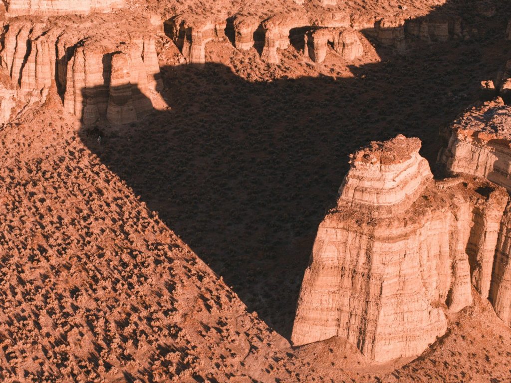
A robotic explorer conducting routine soil surveys in Utopia Planitia made a highly unexpected discovery. According to reports from the Chinese Academy of Sciences, specialized radar sensors penetrated deep under the surface dust. The data was bizarre. The instruments mapped sixteen distinct geometric structures stretching across the barren plains. But explaining how these patterns formed requires looking back at planetary history.
Giant Natural Hexagons
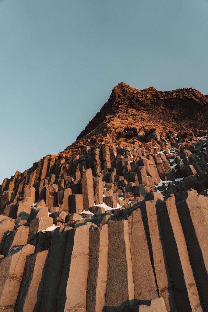
The underground radar scans revealed a massive network of polygonal structures buried in the clay. According to planetary geologists, these sharp shapes closely resemble the basalt columns found in volcanic zones on Earth. They are truly colossal. This organized layout suggests that the Martian landscape underwent a dramatic physical transformation long ago. But the specific mechanism behind these formations remains highly controversial.
Shifting Thermal Cycles
Some scientists suggest that extreme seasonal changes are responsible for carving these precise patterns. According to thermal dynamics models, repeated freezing and thawing cycles can force dry soils to contract into shapes. The climate was mild. This contraction process would require massive amounts of moisture to actively shape the ground. But proving that Mars was once wet required analyzing older geological layers.
The Ancient Basin
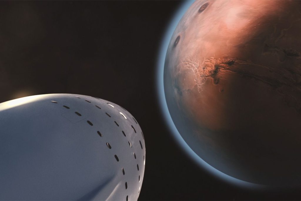
The depth of the buried structures suggests they settled under the surface over three billion years ago. According to astronomical models, this ancient timeline indicates that the region once supported a massive water lake. The dates are shocking. This wet environment is likely what allowed the soil to fracture into highly organized patterns. But how this wet era suddenly ended remains a profound mystery.
The Volcanic Vault
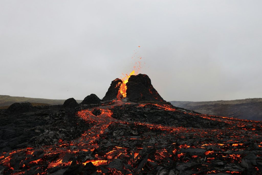
A sudden surge in volcanic activity likely covered the ancient wet plains under layers of hot ash. According to geophysical data, massive lava flows eventually cooled and preserved the geometric formations. It was a shield. This volcanic barrier kept the underground patterns perfectly preserved across vast geological epochs. But the robotic lander was about to detect another strange signature in the area.
Irregular Magnetic Fields

The radar scans also revealed that the magnetic fields surrounding the shapes are highly irregular. According to space agency physicists, these magnetic anomalies do not match standard readings from other Martian regions. The data is weird. This mismatch suggests that the subterranean rocks underwent an intense electromagnetic shift during their formation. But some researchers suggest a highly practical approach to solving this puzzle.
Scanning Far Horizons

This unexpected discovery proves that our neighboring planet still holds profound geological secrets. According to astrophysicists, mapping these underground shapes alters our understanding of how planetary environments evolve. Nature always surprises us. This article is for informational purposes only.
Leave a Reply