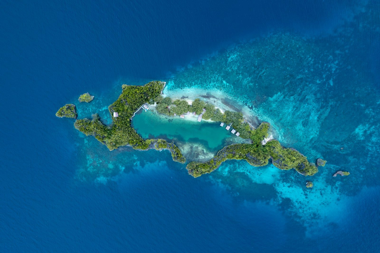
Most people assume that our planet is divided into exactly seven geographical continents. We believe that any other major landmass would be easily visible above the ocean waves.
But scientists have recently mapped a massive eighth continent hidden beneath the sea. This sunken land is rewriting our understanding of Earth’s ancient history.
The Submerged Landmass Found
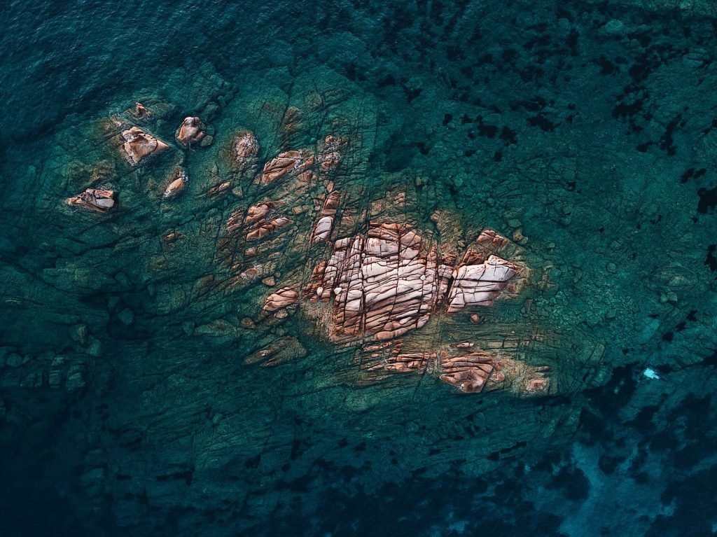
A vast region of the southern Pacific Ocean holds a secret that baffled cartographers for generations. A massive territory called Zealandia sits almost entirely underwater. According to geologists at GNS Science, this giant landmass covers nearly two million square miles. It is mostly submerged. Scientists had to use advanced tools to see through the ocean.
Defining A True Continent
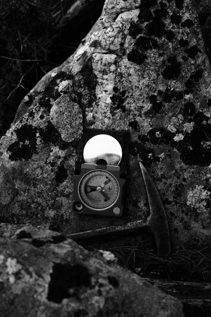
Geological continents require specific traits like a thick crust of diverse rock types. For decades, researchers argued over whether Zealandia was just a group of volcanic islands. According to a landmark study in GSA Today, rock samples confirmed it possesses a distinct continental crust. The proof was clear. This hidden giant was once part of a famous ancient supercontinent.
Breaking From Ancient Gondwana
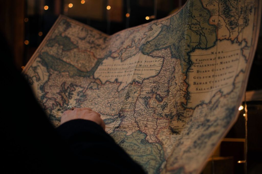
Zealandia was once a major piece of the massive supercontinent Gondwana, alongside Antarctica and Australia. Roughly eighty million years ago, immense tectonic forces began stretching and pulling the land apart. According to plate tectonic reconstructions, this stretching thinned the crust of Zealandia until it sank. It slowly drifted away. A giant core drill soon recovered secrets from the ocean floor.
Mapping Through Deep Water
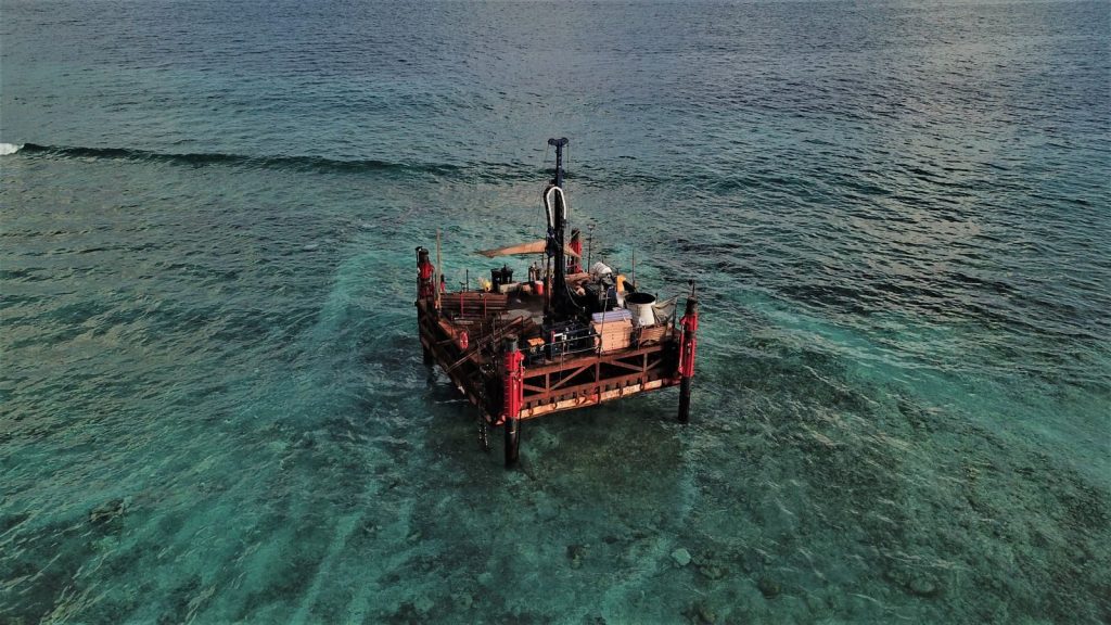
Because ninety-four percent of Zealandia lies deep underwater, marine geologists could not map it using traditional methods. They had to rely on advanced physics and sonar mapping. According to researchers at the University of Sydney, satellite gravity data revealed the exact shape of this sunken continent. The detail was incredible. These retrieved samples contained ancient organic structures.
Fossils Under The Ocean
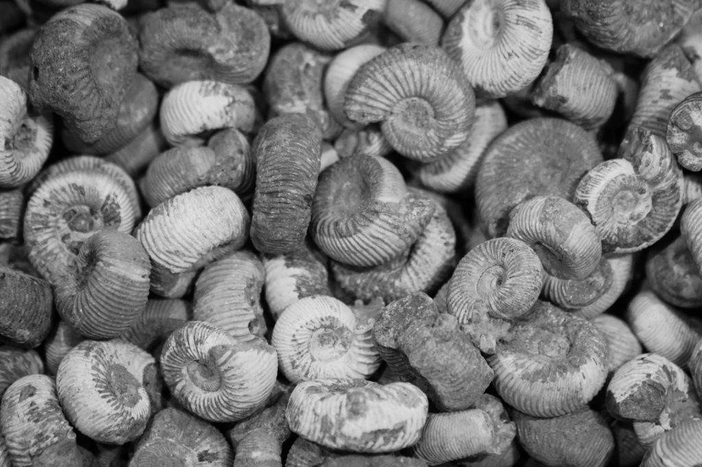
An international expedition drilled deep into the seabed of Zealandia to recover sediment cores. These ancient dirt samples contained incredible organic preservation. According to reports from the International Ocean Discovery Program, scientists recovered pollen and land shells from the sunken layers. Life once flourished here. This sunken realm also tells a story of animal migration.
A Lost Migration Bridge
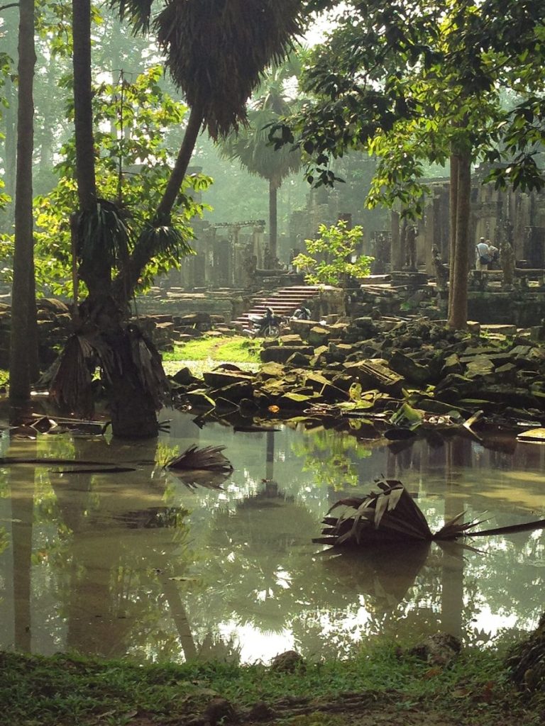
The shallow land of ancient Zealandia served as a vital bridge for plants and animals moving across the southern hemisphere. Land species likely crossed this territory to reach distant shores. According to evolutionary biologists, this corridor explains how diverse species spread across South America and Australia. They walked across it. The ongoing movement of Zealandia still affects our world.
Active Forces Moving Below
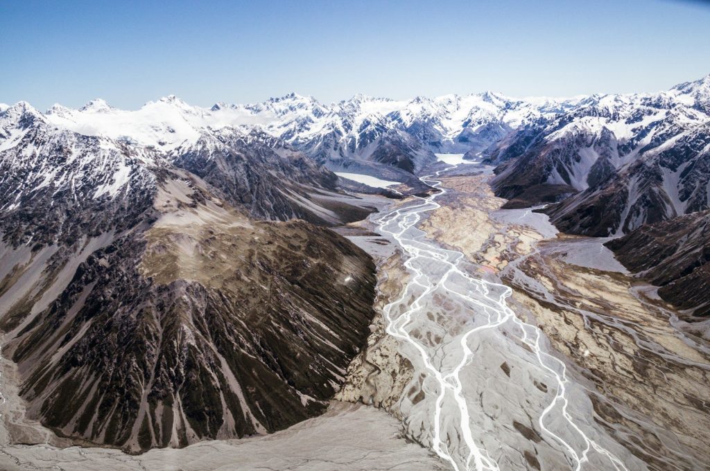
Deep tectonic plate boundaries running through New Zealand continue to twist and shape the submerged continent. Frequent earthquakes and active volcanism prove that this territory is still alive. According to monitoring data from GeoNet, the crust experiences constant stress from tectonic movements. This is highly dynamic. This geologic discovery has massive implications for our future.
Redefining Our Planet
According to the geological community, mapping Zealandia shows that massive secrets still hide right under our feet. It challenges old textbook definitions and changes how we understand the history of our continents. Science is always evolving. This article is for informational purposes only.
Featured Image: Photo by Ernests Vaga on Unsplash
Leave a Reply