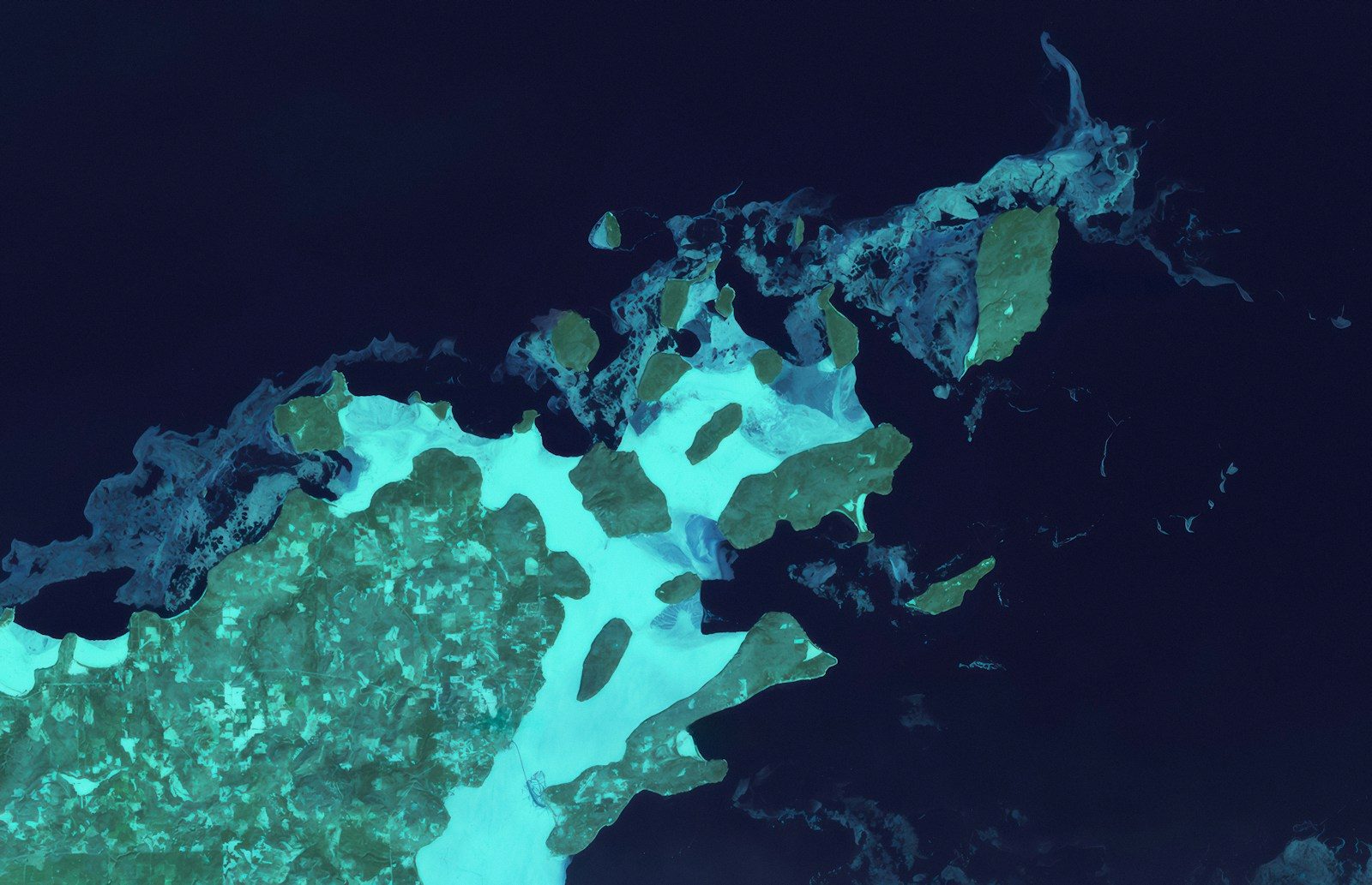
The Pacific Ocean hides some of the most violent forces on Earth. For decades, scientists have monitored the “Ring of Fire,” but our maps of the seafloor have always been blurry and incomplete. That has just changed. A new fleet of high-tech sonar drones has just completed the most detailed scan of the Cascadia Subduction Zone in history. This fault line, which runs from Canada down to Northern California, is a “silent giant” that hasn’t had a major eruption in over 300 years.
The new scans have revealed something frightening. The fault line is not a single smooth line, as we once thought. It is a rough, high-pressure “megathrust” zone that is currently locked tight. The images show massive amounts of stress building up in areas that were previously invisible to our sensors. This isn’t just an academic discovery. It is a warning that the “Big One” could be much more powerful than anyone predicted. How can a sound wave show us the future of a disaster?
The New Technology That Can See Through Rock
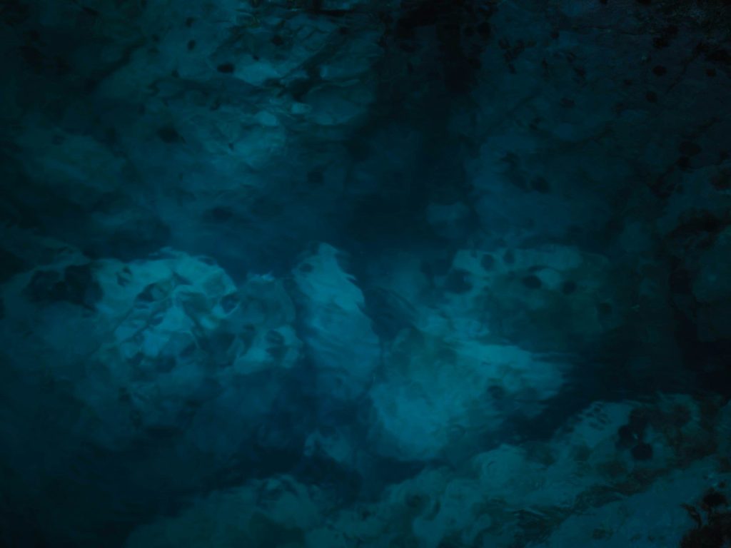
In the past, we mapped the ocean floor using ships that stayed on the surface. This was like trying to map a city from a plane flying through thick fog. The new sonar drones dive deep, hovering just a few feet above the tectonic plates. They use “multi-beam” sound waves to create a 3D model of the Earth’s crust with centimeter-level precision.
These scans can see through layers of sediment to the solid rock underneath. What they found was a series of “hidden” fractures that have never been mapped before. These fractures act like zippers that could unzip all at once during a quake. But why is this fault line different from the famous San Andreas?
Why This Fault Line Is A Sleeping Giant
The San Andreas fault in California is a “transform” fault, where plates slide past each other. It causes a lot of damage, but it rarely triggers tsunamis. The Cascadia fault is a “subduction” zone, where one plate is being forced under another. This builds up a massive amount of vertical energy.
When it finally snaps, the seafloor will jump up by as much as 30 feet. The new scans show that the plates are “bulging” upward, like a spring being compressed. We are currently living in the longest period of silence this fault has seen in 10,000 years. This silence isn’t a good sign—it means the tension is reaching a breaking point.
The Terrifying Discovery Of The “Locked” Zones
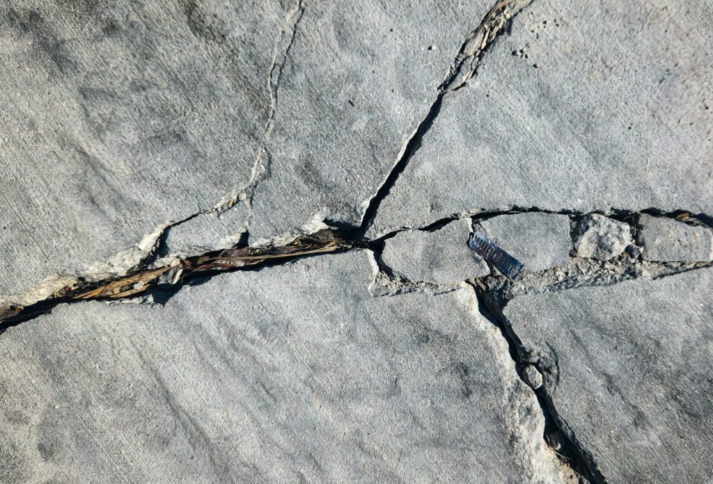
The most concerning part of the scan is the “locked” zones. These are areas where the plates are so rough that they can’t slide at all. They are completely stuck. The drones detected “micro-tremors” happening all around these zones, which is a sign that the surrounding rock is starting to crack.
If these locked zones break simultaneously, the resulting earthquake would be a Magnitude 9.0 or higher. That is 30 times more powerful than the earthquake that destroyed San Francisco in 1906. The scans show that the largest locked zone is positioned directly off the coast of major cities. What happens when the ground starts to move?
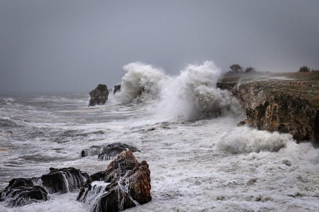
A Tsunami That Could Reach The Other Side Of The World
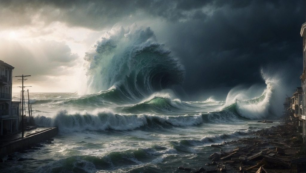
The new models suggest that a Cascadia quake would send a wall of water across the entire Pacific. While the West Coast would be hit within 15 minutes, the wave would reach Japan and Hawaii a few hours later. The scans help us see the exact shape of the seafloor, which tells us which way the water will move.
By knowing the “path of the wave,” we can create better evacuation maps. However, the scans also show that some coastal areas are “sinking” as the fault pushes them down. This means the tsunami will reach much further inland than we previously thought. Are we prepared for a wave that spans an entire ocean?
The “Silent Quakes” That Give Us Hope
It’s not all bad news. The drones also discovered “Slow Slip Events.” These are tiny earthquakes that happen over several weeks instead of seconds. They are too small for humans to feel, but the drones can hear them. These silent quakes release a little bit of the pressure without causing damage.
Scientists are now trying to figure out if we can trigger more of these “slow slips” to prevent a major disaster. If we can find a way to lubricate the fault line, we might be able to “bleed off” the energy. But the technology to do that doesn’t exist yet. For now, the best we can do is watch and wait.
Why This Scan Is A Game Changer For Homeowners
If you live anywhere near the Pacific Northwest, these scans are about to change your life. Insurance companies and city planners are already using this data to rewrite building codes. We now know exactly which neighborhoods are built on “liquefaction” zones—areas where the ground will turn into liquid during a quake.
While it might be scary to find out your house is in a danger zone, this information will save lives. It allows people to retrofit their homes and cities to strengthen their bridges. Knowledge is the only defense we have against the earth’s raw power. But how much time do we have left?
The Final Countdown To The Big One

The data from the scans suggest we are in the “window of occurrence.” Geologically speaking, this fault line is overdue. Every day that passes without a quake is another day that the pressure builds. The researchers are now deploying more drones to monitor the “locked” zones in real-time.
We are entering an era of “predictive seismology.” We might soon be able to give a 24-hour warning before the ground starts to shake. Until then, the golden rule remains: be prepared. The ocean has revealed its secret, and now it’s up to us to listen.
Leave a Reply