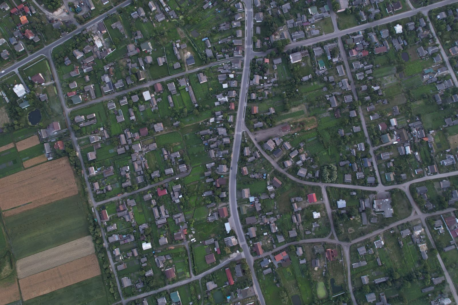
Most people assume that modern satellite imaging and census data track every human on Earth. We believe our global population maps are highly accurate and reliable.
But researchers have uncovered a massive demographic blind spot. Our most trusted maps completely miss up to eighty percent of the rural population.
The Great Demographic Error
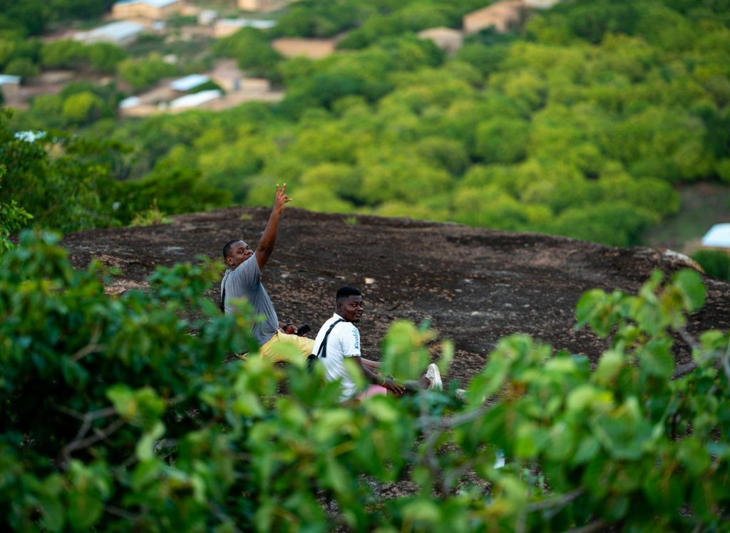
Global organizations rely heavily on high-resolution population maps to distribute vital resources and manage disasters. According to a study from Aalto University, these maps contain systematic errors. The discrepancies are huge. The systems primarily calibrate for dense urban environments while ignoring the complex realities of the countryside. But researchers only realized the true scale of this problem after checking local relocation records.
The Dam Resettlement Secrets

The team bypassed standard census estimates to find a reliable source of absolute truth. According to the research paper, they analyzed on-the-ground resettlement data from over three hundred large dam projects. These numbers are precise. Hydroelectric companies count every single person because they must pay direct financial compensation. But comparing these exact headcounts to global population maps revealed a staggering gap.
The Vast Missing Population

The comparison showed that our most popular global maps consistently underreport human life. According to the Aalto University study, widely used datasets underestimate rural populations by up to eighty-four percent. Millions of people vanished. This massive deficit means that governments are planning infrastructure using completely distorted models. Yet, the team soon identified the main administrative failure behind this geographic erasure.
A Broken Census System
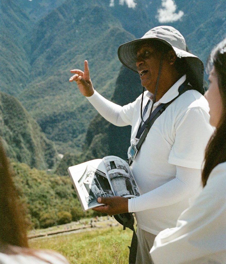
The demographic blind spot stems from basic national record-keeping limitations. According to researchers, many developing countries lack the massive financial resources required for precise rural counts. Traveling is incredibly difficult. Populations spread thinly across vast, rugged landscapes can easily evade official government surveys for decades. But this hidden population shift carries immediate dangers for our global future.
Dangers of Underrepresenting People
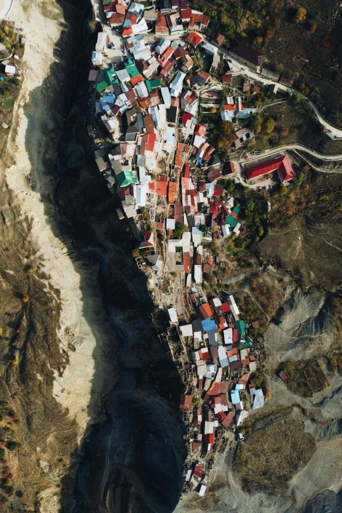
Underestimating rural populations directly starves remote communities of essential services. According to development experts, inadequate demographic data leads to insufficient funding for emergency medical care and local transport. They lack basic help. These errors also cripple global disease tracking networks and disaster response systems when extreme events strike. However, researchers are already suggesting a highly advanced solution to fix our maps.
Building Smarter Maps

Correcting this global bias requires a complete overhaul of our current population models. According to geospatial researchers, we must combine satellite imagery with alternative local sources and machine learning. We need better data. Integrating on-the-ground observations will help scientists build equitable resource systems for the first time in history. But achieving this goal requires accepting a shocking reality about our current numbers.
Redefining Our World
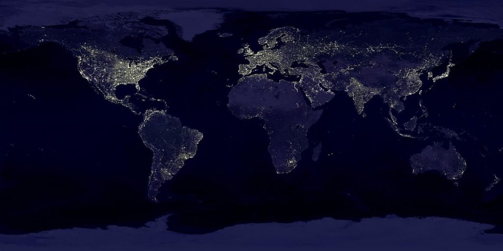
According to demographers, our planetary population models remain deeply flawed in rural areas. This study proves that millions of humans are currently missing from the maps we use daily. We must correct these models to ensure fair global development. This article is for informational purposes only and does not constitute policy or planning advice.
Featured Image: Photo by Denys Mikhalevych on Pexels
Leave a Reply